Spoiled Hike
Disc Golf and Cabins in the Shenandoah Mountains
Entry Run Trail
This is an SNP side trail that is maintained by the Potomac Appalachian Trail Club. It goes up into the park by climbing a ridge that starts at the end of Entry Run road (VA 643). After 2.6 miles, it ends in the park at the Pocosin Fire road. The first 0.75 miles or so is the hard part, which ascends from about 1400' to 2200'.
There is a newer trail that connects two PATC cabins (Rosser Lamb and John's Rest) that goes along the creek instead of up the ridge. The trail is not as well manicured, but the ascent is much easier. It connects with the main trail at the Rosser Lamb cabin so you can go up one and down the other as a circuit. At the bottom, it connects with the road from the Entry Run trail head to the John's Rest cabin east of the cabin.
Driving Directions
- from Lydia Mountain take Bull Yearling and/or Turkey Ridge to South River Road.
- Turn left on South River
- After about 1 mile, Turn left on Entry Run (VA 642 at this point).
- Continue approximately two miles to the trail head at the end of the road. There are a half dozen parking spots.
Hiking Directions
From the parking lot, cross the Entry Run river and follow the Blue blaze. Do no take the road on the left that is just other side of the river, but do take the trail on the left 0.1 miles later. If you get to the PATC cabin, you missed the turn (but you can still go up along the creek instead),
Points of Interest
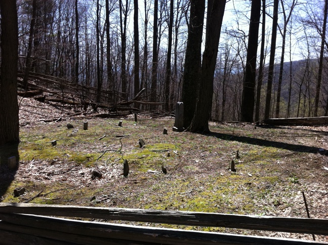
- After about 1 mile there is a cemetery on the left. Only the obelisk shaped stone in the middle has any decipherable information, with dates in the late nineteenth and early twentieth century.

-
About two miles in, the trail descends to the other side of the ridge, where another Entry Run tributary flows, On the other side, there is a well maintained 100-150 year old house with a tin roof and no electricity. The private road that meanders up here from Pocosin Mountain road also leads to another PATC cabin.
-
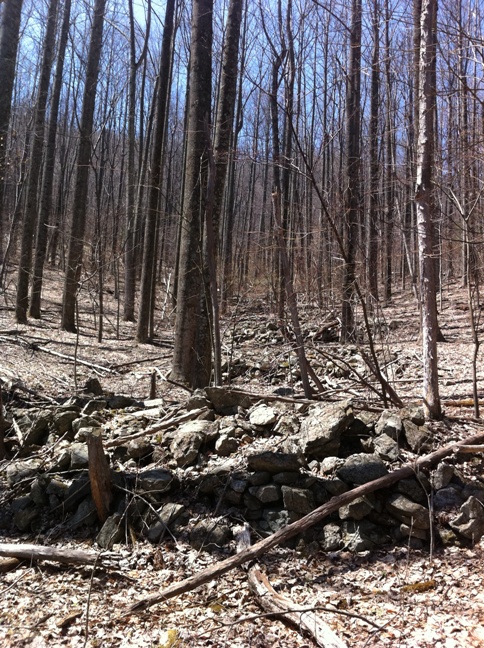
The trail continues on up the creek where there is a curious sequence of what appear to be stone foundations for buildings that are long gone. My guess is that business was booming up here during the Prohiibition era.

-
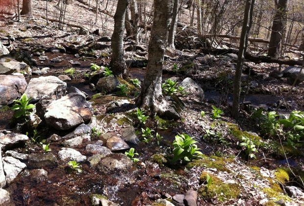
1.5 miles from the trail head, the trail reaches the SNP boundary. A few hundred yards after that, the trail crosses the creek at, which at least on the spring day we were there, is a very pretty spot.
